km214
through
km390 |
For the next 176km, from
Manic 5 north, the road
is gravel. As you can see from the photos it is a modern gravel
road, with easy curves and hills for the most part. However, you
do have to watch out for the sections of deep and loose gravel. If
you don't drive carefully you can easily spin out of control and into
the ditch. |
| |
|
| km239 |
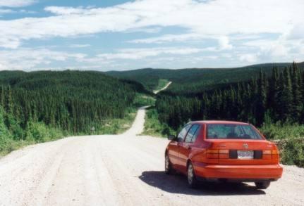 |
This section of the road ate one of the
hubcaps off of my car:
Now you see it (driver's side rear);
|
|
| |
|
| km270 |
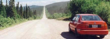 |
Now
you don't!
(I wonder if that counts as littering?)
|
|
| |
|
| km285 |
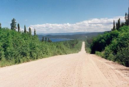 |
From
about km280 on, the huge Manicougan Reservoir is visible from time to
time in the distance. This is a large man-made lake created by the
Daniel Johnson dam.
It is visible in this photo up ahead to
the left.
|
|
| |
|
| |
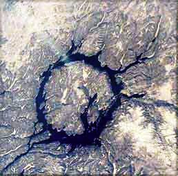 |
Here is a view of the Manicougan
Reservoir from space.
This ring-shaped lake was formed by the
impact of a gigantic meteorite. The lake is 64km in
diameter. The Daniel Johnson dam simply expanded the area of the
existing lake.
The highway travels along the eastern
side of this lake.
|
|
| |
|
| km314 |
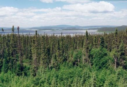 |
Here
is a far off view of the central island in the Manicougan Reservoir |
|
| |
|
| km 316 |
"Relais Gabriel" is located
here: just a restaurant and gas station, and that's about all. This is your last chance to get gas
(or anything else) for the next 250km. |
| |
|
| km330 |
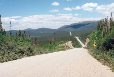 |
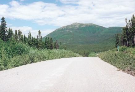
From about km300 through km375 the road
passes through a region of moderate sized mountains. |
|
| |
|
| |
As you can see from these
pictures, there is very little traffic on this road. I didn't have
to wait around to get these photos of empty roads. I would've had
to wait around for awhile to get a photo with a car in it!
It's a very lonely highway through huge empty country. Beautiful! |
| |
|
| km346 |
 |
There
was snow on the northern side of some of these mountains, near
their tops.
(Sorry, no picture of the snow - it was
so far away that I could only tell that it was snow through my
binoculars.)
|
|
| |
|
| km374 |
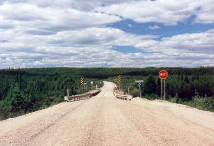 |
One
of several one-lane bridges on this stretch of road |
|