|
Central & Western Labrador
|
|
Virtual Tour
Quebec Hwy 389 - Baie Comeau to Labrador City
(Page 5 of 8)
Previous
Next |
|
|
|
Km 407: 52nd parallel. The taiga, composed mainly of small black spruces,
lichens and mosses, officially starts here. Broad-leaved trees will be very
sparse and rare from now on. Km 418: Emergency phone. |
 |
Km 421: For
the next 90km (north to the closed mine at Fire Lake) the road is paved,
and you can make pretty good speed on it!
Enjoy it while it lasts.....
When you come back the other way, after
hundreds of kilometers of gravel road, it feels like you're flying when you
drive this stretch of road.
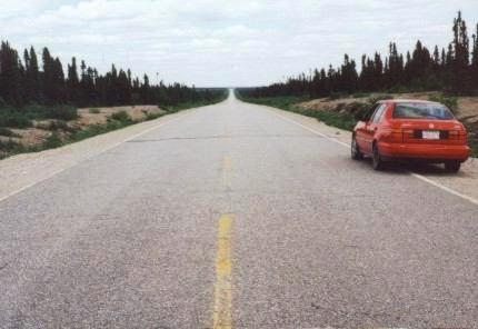
That's one empty road, eh?
I hope you like black spruce trees - you're
going to see a lot of them.
|
|
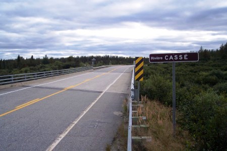 |
Km 440: Picture of the bridge
crossing the Casse River. Now this is a safe bridge! |
|
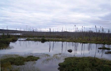 |
Km 460: Picture of the lonely and
desolate (yet beautiful because of that) scenery along here.
|
|
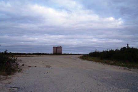 |
Km 483: It's time to hit the brakes
since the paved road ends here!
Up ahead are the remnants of the mine of Fire Lake: 2 massive silos
are still standing. Everything else was taken down. Make a left turn
here and get prepared for the worst part of highway 389: 67 kilometers
of twisty road! |
|
|
Km 495: Emergency phone. |
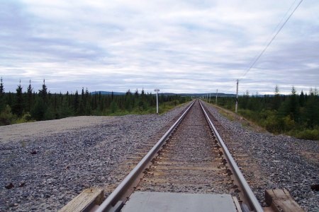 |
Km 495: Be careful when you cross
the railroad. It may look deserted, but this is not the case! For quite
a ways the road flirts with
this railroad that ships out the ore from the Mount Wright iron mine,
crossing and re-crossing the rails many times. You will have to cross it
9 times. Yes, 9 times! Be careful, as there are no crossing signals. |
|
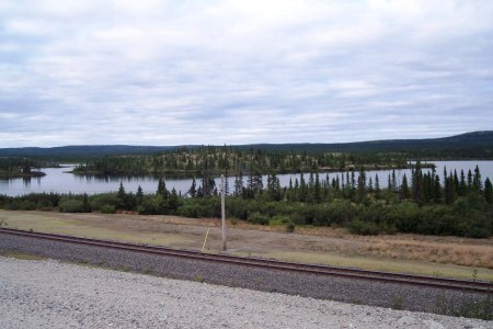 |
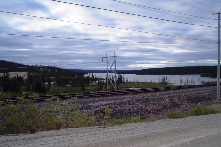
Km 495: Here are pictures of the
railroad alongside a small island covered with lichens and the road
alongside the railroad. |
|
 |
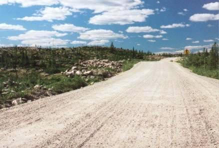
Now this is an ugly road! Why was this
section of the highway made so dangerous and unappealing? Probably
because it is a purely practical road. |
|
 |
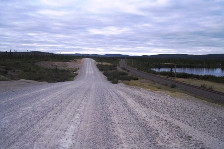
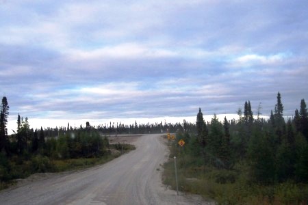
Km 499: This
is what the next 80km of road are like. A much narrower gravel
road that twists and turns all over the place. Take care along here. There's not
much room if you meet a truck. There are
many small lakes along here, with deserted sandy beaches. Very
little traffic. |
|
|
Km 511: Emergency phone. |
 |
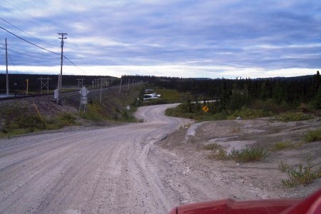
Km 515: Left (here) and north view
(below) of the road still following the railroad. |
|
 |
So twisty! |
|
 |
Km 525: The road approaching the
railroad... one more time! |
|
|
|
|
Previous
Next
Photos and narrative on this page by Mathieu
Gagnon & Walter Muma |
|
|
