|
Summer 2003
(Page 4 of 5)
East and North from Blanc Sablon |
|
|
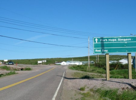 |
The Trans-Labrador Hwy now starts here at the town of Red
Bay.
It extends 315 km north to Cartwright.
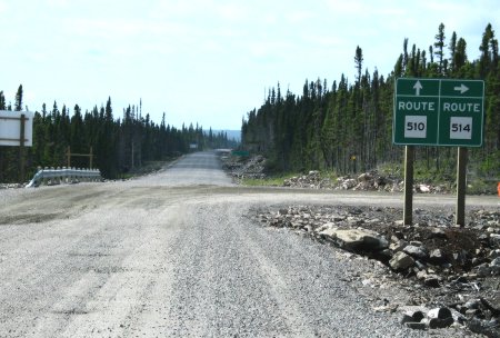
This photo shows the junction of the new road at Red Bay. The new road (the
Trans-Labrador Hwy) is unpaved all the way to Cartwright.
In spite of what the sign says, you don't go straight ahead for
Port Hope Simpson, you must turn left!
|
|
|
|
|
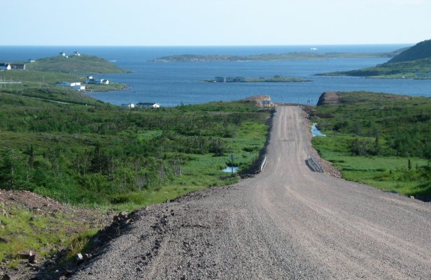
Just a short ways north from Red Bay on the new
Trans-Labrador Hwy.
There's an iceberg in the distance.
|
|
|
|
|
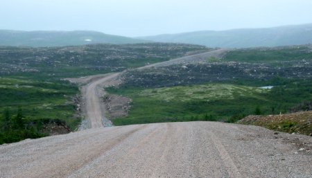 |
On the new road running north from Red Bay, 'way up
in the uplands above the ocean. The road climbs quite a ways in the
first few miles.
The view here is actually looking south towards Red Bay.
Note the patch of snow in the distance. |
|
|
|
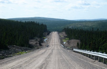 |
Further along the Trans-Labrador Hwy.
|
|
|
|
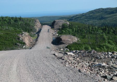 |
Higher up in the highlands, away from the
ocean.
Again, this photo is a view looking south towards Red Bay.
The road is quite spectacular for a number of miles north from
Red Bay. Then it settles down into the typical rolling forested
interior of Labrador scenery, except for where it crosses river
valleys and ocean inlets. |
|
|
|
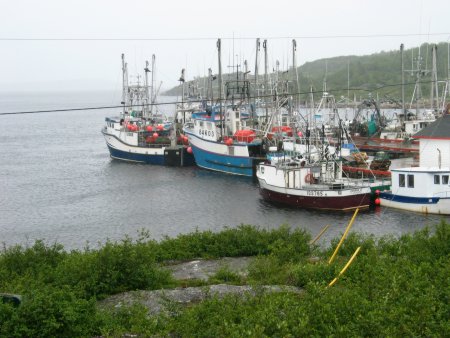 |
Fishing boats at Mary's Harbour.
|
|
|
|
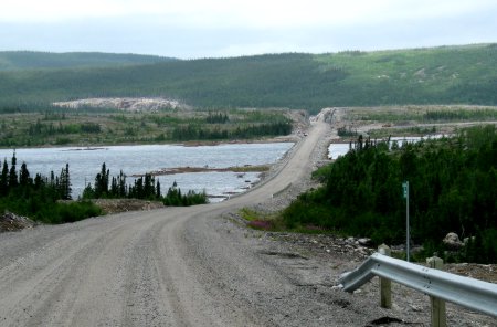 |
St. Lewis Inlet.
The road crosses a couple of large inlets from the sea. One is at
Port Hope Simpson (above) and this is the other one.
Note the clearcut on the far hillside, on the right side of the
photo. Logging is alive and well in this part of Labrador. |
|
|
|
|
Port Hope Simpson
|
|
|
|
|
 |
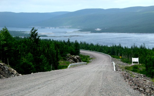
The junction with the road to
Charlottetown (no, not the city in PEI!).
This is as far north as we went, due to time constraints. As
well, it appeared that the scenery would be similar all the way to
Cartwright.
Cartwright is straight ahead. |
|
|
|
|
Previous Next
|